Categories / Monitoring systems / Atmospheric
Meteorlogical-Fluxes Mast - Bahía de Agiabampo
Principal Investigator:
Luis Mendez-Barroso
Description
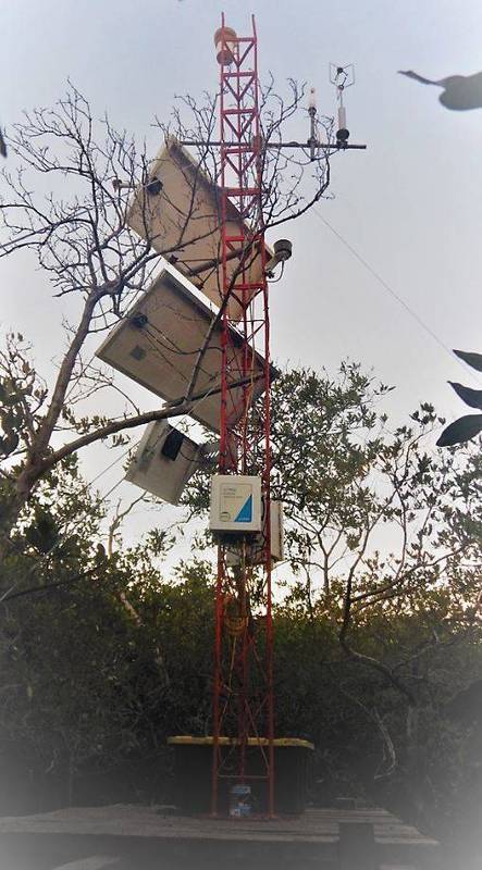
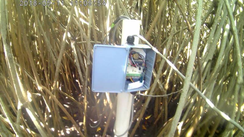
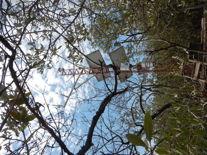
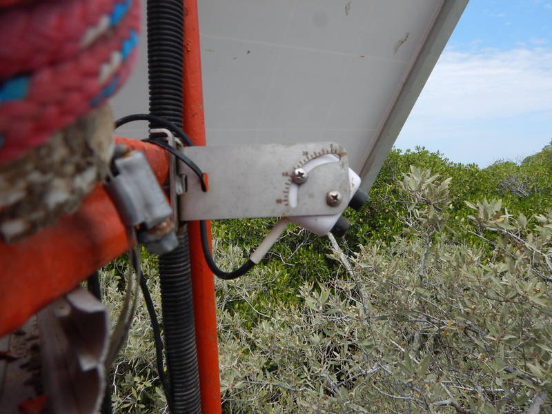
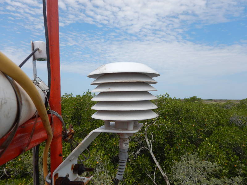
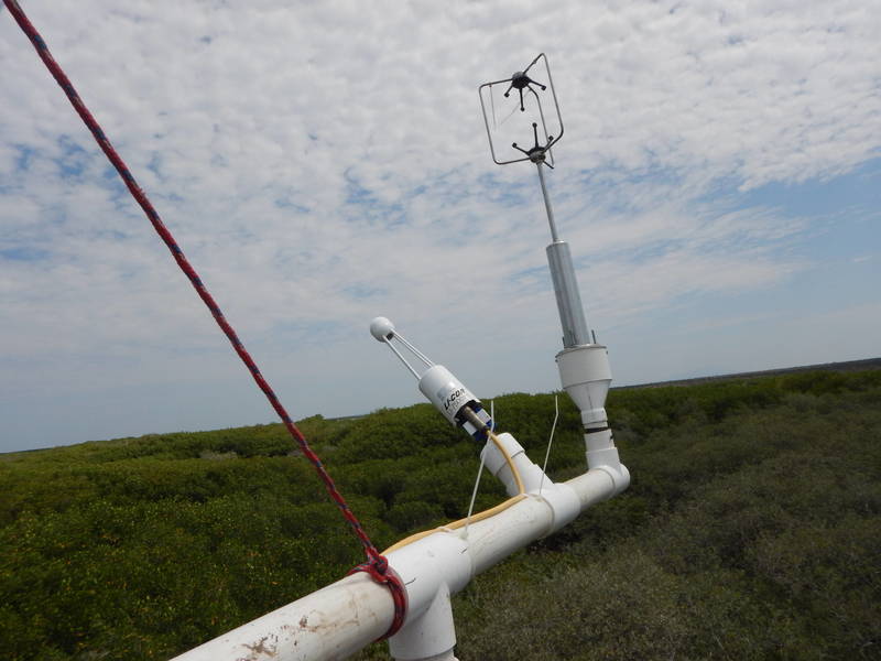
The coastal monitoring site “Bahia de Agiabampo” is located on the limits of the Mexican States of Sonora and Sinaloa. Currently, the Agiabampo-Bacorehuis estuarine lagoon system is listed as a site of ecological importance by the Ramsar Convention (Ramsar Site No. 1797) while the islands within the lagoon system belong to the Natural Protected Area of the Gulf of California Islands (ANP-CONANP). The monitoring site consists of a network of sensors for the observation of both hydrological and water physical-chemical parameters as well as fluxes of carbon and water exchange between the surface and the atmosphere. The Eddy Covariance flux tower (EC) located near Navopatia measures CO2, H2O and energy exchange fluxes between semi-arid mangroves and the atmosphere. The EC equipment consists of a 9 meter high tower instrumented with a 3D sonic anemometer and an infrared gas analyzer (IRGA) both measuring at a sampling rate of 10 Hz. Simultaneously, the EC tower monitors meteorological variables at low frequency (30 minutes) such as air temperature, relative humidity, atmospheric pressure, precipitation and net radiation. Additionally, in-situ instrumentation closely tracks mangrove phenology by monitoring Normalized Difference Vegetation Index (NDVI) and canopy temperature. Finally, the Bahia de Agiabampo site has a network of pressure transducers in different locations of the estuarine system to measure differences in tide level including an acoustic Doppler current profiler (ADCP) located at the intersection of the Gulf of California and the lagoon system of Agiabampo. The coastal monitoring site of Agiabampo is part of a nation-wide network of coastal observatories managed by the National Coastal Resilience Laboratory (LANRESC) and the Sonora Institute of Technology (ITSON).
