Experiments
Laboratory
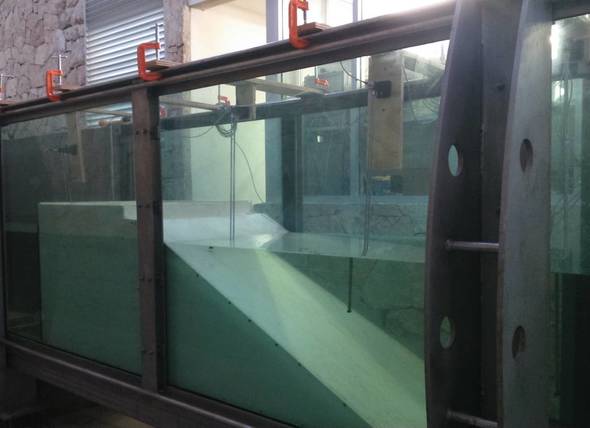
The laboratory experiments are conducted in the wave-current flume at the LIPC is 40 m long, 0.8 m wide and 1.2 m heigth. It is equiped with a piston-type wave generation system with a stroke length of 1.2 m. An active wave generation and absorption system from VTI allow the generation of monochromatic, irregular, and solitary waves. The reversal current is able to generate a current speed of up to 0.3 m/s. The flume is equiped with 32 wave gauges, 3 Vectrino profilers, pressure sensors, and a 3D laser scanner.
Field
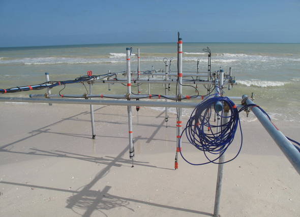
The Coastal Processes and Engineering Laboratory (LIPC) is located near the east Jetty of the Sisal Port. Its location allows us to employ the coast as a natural laboratory for experiments focused on the understanding of coastal processes. Most of the field experiments have been conducted in Sisal beach and the Carbonera coastal lagoon.
Monitoring systems
Atmospheric
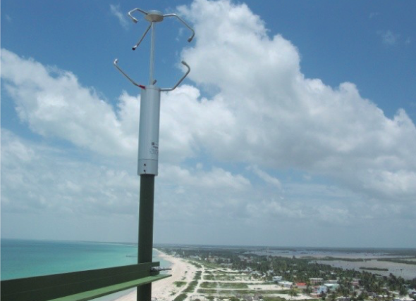
Atmospheric dynamics are of relevance in both global and local scales. Meteorological measurements are crucial for many practical purposes, such as global warming assessment, ocean-atmosphere and land-atmosphere interaction, wind energy, etc. Having good quality measurements allows for numerical models validation, which in turn permit global and meso-scale analysis, as well as weather forecast with industrial, navigation and even recreational purposes. Moreover, these models are used for pollution dispersal monitoring. From smaller scales viewpoint, it is important to understand how the atmosphere interacts with complex terrain, generating turbulence and perturbations, which have important effects on the energy balance of all ecosystems.
Oceanography
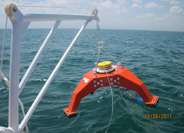
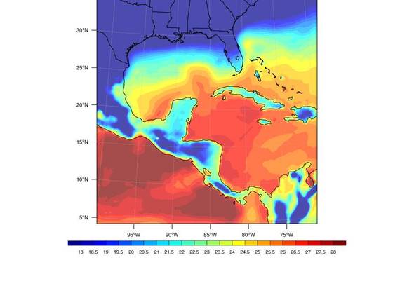
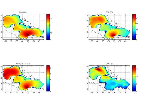
There are several factors that directly affect the morphology of the beaches, one of them and that can be observed is the swell however there are other factors that at first sight can not be observed but are equally important as currents and tides. Some of them are directly related to others and generally always have some degree of interrelation, so understanding the processes that occur in the oceans is of vital importance for human activities on the coast such as: recreation, navigation, oil extraction and infrastructure. The Laboratory of Engineering and Coastal Processes with the purpose of having data of high quality and wide temporal coverage, carries out measurements of waves, currents, tides and temperature.
Geohidrology
Geohydrology studies the space and temporal water properties distribution in the earth, including superficial water and groundwater. The coastal Yucatan aquifer is the main fresh water supply of coastal ecosystems in the area, so the study of aquifer dynamics and sea-aquifer interactions are important subjects of study. At first, the geohydrology studies at LIPC and LANRESC include building a coastal monitoring network in northwest of Yucatán (RNWY) for monitoring the aquifer water table, position and evolution of saline interface. Monitoring allows the observation of different time scale phenomena in the aquifer behavior (daily and seasonal), in order to characterize these coastal systems, and study the variability of the saline intrusion due to changes in sea level, aquifer discharge and precipitation.
Morphology
Changes in the morphology of the emerged and submerged beach are the means to understand beach dynamics. Beach dynamics depend on the currents, wave, wind and tidal conditions showing a variability at different spatial and temporal scales. To monitor this spatio-temporal variability different sampling techniques are used such as direct measurements or remote sensing.
Numerical Modeling
Atmosphere
Understanding the atmospheric dynamics and its interaction with the ocean is important in order to be able to describe the processes that dominate and modulate the climate, either locally or regionally. That is why, here at the LIPC, in addition to carry out measurement campaigns and the use of data from meteorological stations, we have implemented different regional climate models (PRECIS, WRF), using different spatial scales ranging from 50 km to 3 km and different time scales (simulations of very high spatial resolution but for few days, to 30-year simulations). Regional climate models are tools that can be both to investigate different atmospheric processes or operationally mode (for forecast).
Ocean
The numerical modeling of the ocean allows us to have historical information about the oceanographic conditions, as well as forecasts. By oceanographic conditions, we refer to waves, currents, free surface level, temperature, and salinity, among others. The use of oceanographic instruments allows us to measure these variables in specific locations, while remote sensors provide spatially scattered information over time. However, numerical models allow us to have information on large ocean areas and with high temporal and spatial resolution. In this way, the numerical models of the ocean allow us to know the oceanographic conditions at any place and at any time, either to conduct research on oceanographic processes or for operational use as in the case of forecasts.
Experimental development