Categories / Monitoring systems / Morphology
Beach Monitoring Program in Sisal, Yucatan (MORPHO-SISAL)
Principal Investigator:
Dr. Gabriela Medellín Mayoral
Description
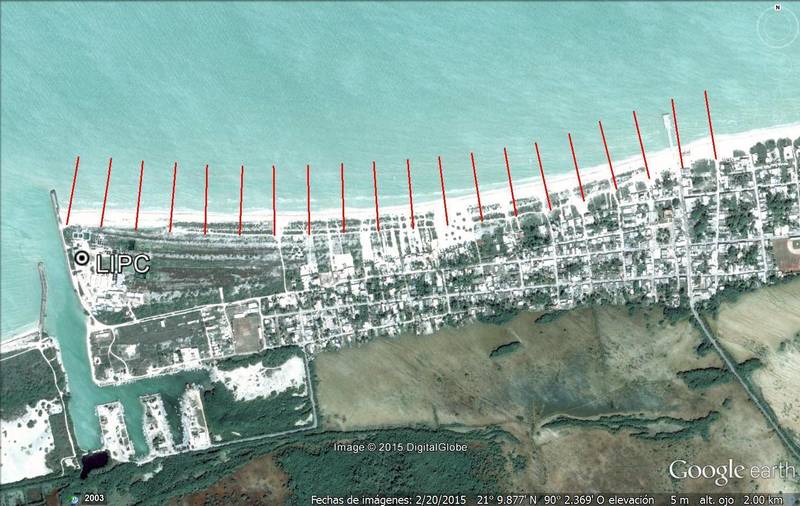
A high spatial and temporal resolution monitoring program has been conducted in Sisal beach starting on Spring 2015. Weekly to bi-weekly beach profiles are conducted along 20 transects located between the east jetty of the Sisal Port and the Sisal Pier. This data set is used to investigate seasonal changes. The goal is to continue such program in order to generate a novel dataset that will allow us to investigate interannual variability in this region. The morphological changes can be correlated with the different forcing variables obtained in the Coastal Observatory to understand long-term beach morphology evolution.
Reference:
Medellín, G., Torres-Freyermuth, A., 2019. Morphodynamics along a micro-tidal sea breeze dominated beach in the vicinity of coastal structures, Marine Geology, Vol. 417, 106013, https://doi.org/10.1016/j.margeo.2019.106013.
Medellín, G., Torres-Freyermuth, A., 2021. Foredune formation and evolution on a prograding sea-breeze dominated beach. Continental Shelf Research, 226, 104495; https://doi.org/10.1016/j.csr.2021.104495.
Torres-Freyermuth, A., Medellín, Salles, P., 2021. Human impact on the spatiotemporal evolution of beach resilience on the northwestern Yucatan coast. Frontiers in Marine Science, 8: 637205; https://doi.org/10.3389/fmars.2021.637205.
Arriaga, J., Medellín, G., Ojeda, E., Salles, P., 2022. Shoreline Detection Accuracy from Video Monitoring Systems. Journal of Marine Science and Engineering, 10 (1), 95, https://doi.org/10.3390/jmse10010095.
Medellín, G., Franklin, G.L., Torres-Freyermuth, A., 2024. Storms can increase beach resilience on a low-energy coast in the proximity of a harbor, Continental Shelf Research, 282, 105343, https://doi.org/10.1016/j.csr.2024.105343.
Medellín, G., Torres-Freyermuth, A., Cohn, N., 2025. Distinct sandbar behavior on a gently sloping shoreface sea-breeze dominated beach, Marine Geology, 107543, https://doi.org/10.1016/j.margeo.2025.107543.
Acknowledgements:
Cátedras CONACYT, project 1146 Observatorio costero para estudios de resiliencia al cambio climático
Ciencia Básica CONACYT, project 284819 Estudio de resistencia y resiliencia física de playas naturales ante perturbaciones
PAPIIT-DGAPA UNAM, project IA101422 Estudio de efectos e impactos de tormentas en islas de barrera de la costa norte de Yucatán
Ciencia Básica CONACYT, project 284819 Estudio de resistencia y resiliencia física de playas naturales ante perturbaciones
PAPIIT-DGAPA UNAM, project IA101422 Estudio de efectos e impactos de tormentas en islas de barrera de la costa norte de Yucatán

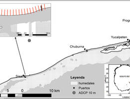
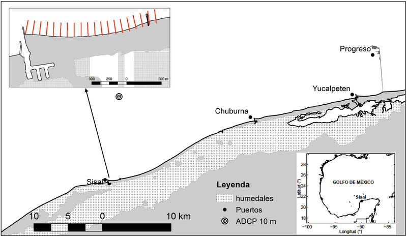
Figure 1. Study area map showing (a) the location of Sisal in the Yucatan Peninsula, (b) the study area indicating main ports, wetlands (humedales) and ADCP at 10m depth, and (c) distribution of cross-shore transects along Sisal beach.
Results
GraphGallery

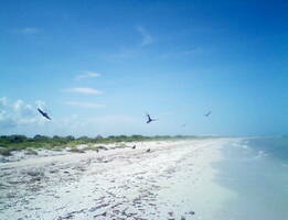
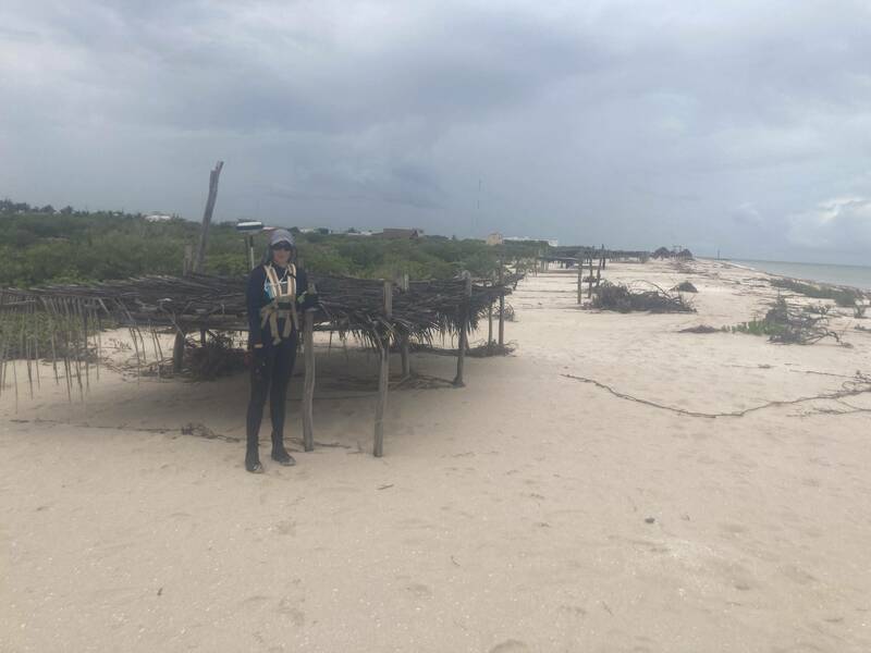
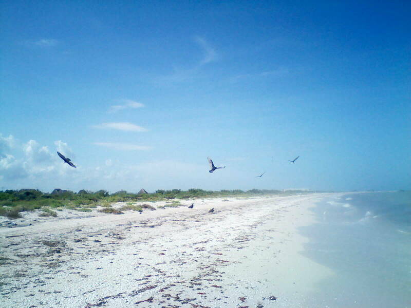
Playa de Sisal, 10/Nov/2016.
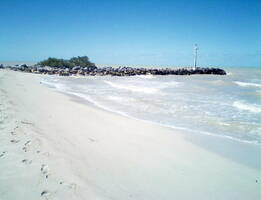
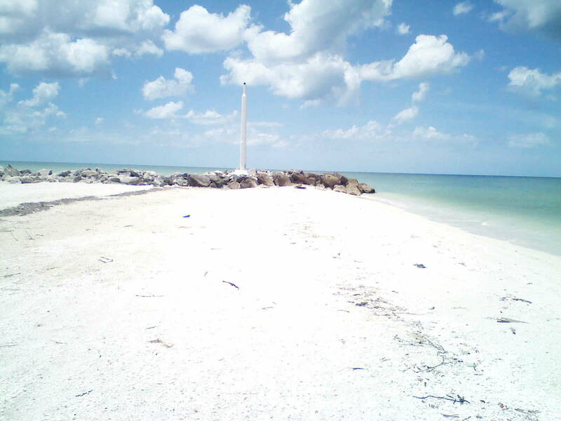
Playa aledaña al espigón del puerto de Sisal, 11/Feb/2016


Playa aledaña al espigón del puerto de Sisal, 25/Ago/2017
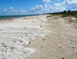
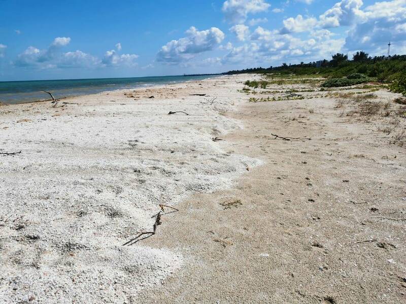
Sedimento depositado en la playa subaérea después del huracán Delta,15/Oct/2020
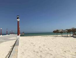
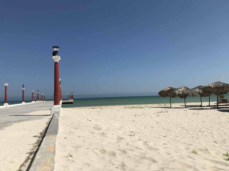
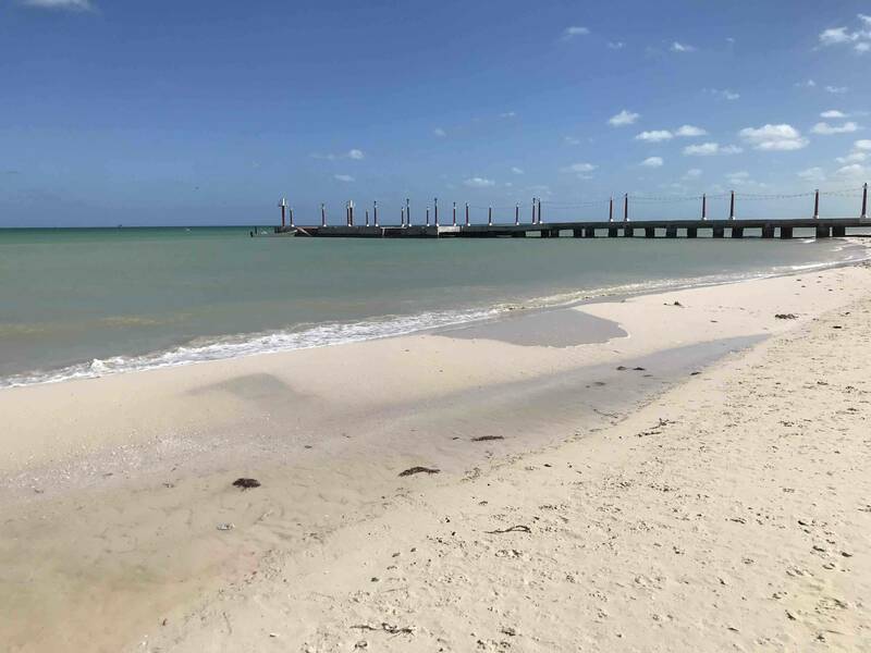
Muelle de Sisal, 2/Sept/2020
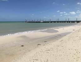
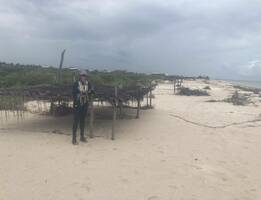
Playa aledaña al muelle de Sisal, 17/Mar/2021
Onda de arena, 16/Jun/2021
Duna vegetada, 18/Sept/2020
Aumento de elevación en la playa subaérea tras el paso del huracán Milton 14/Oct/2024
Aumento de elevación en la playa subaérea tras el paso del huracán Milton 14/Oct/2024